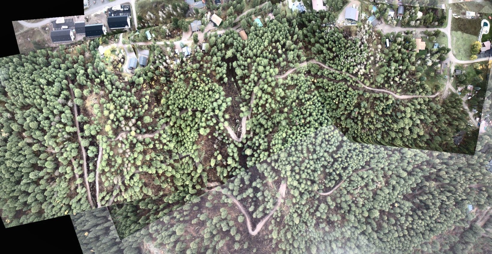
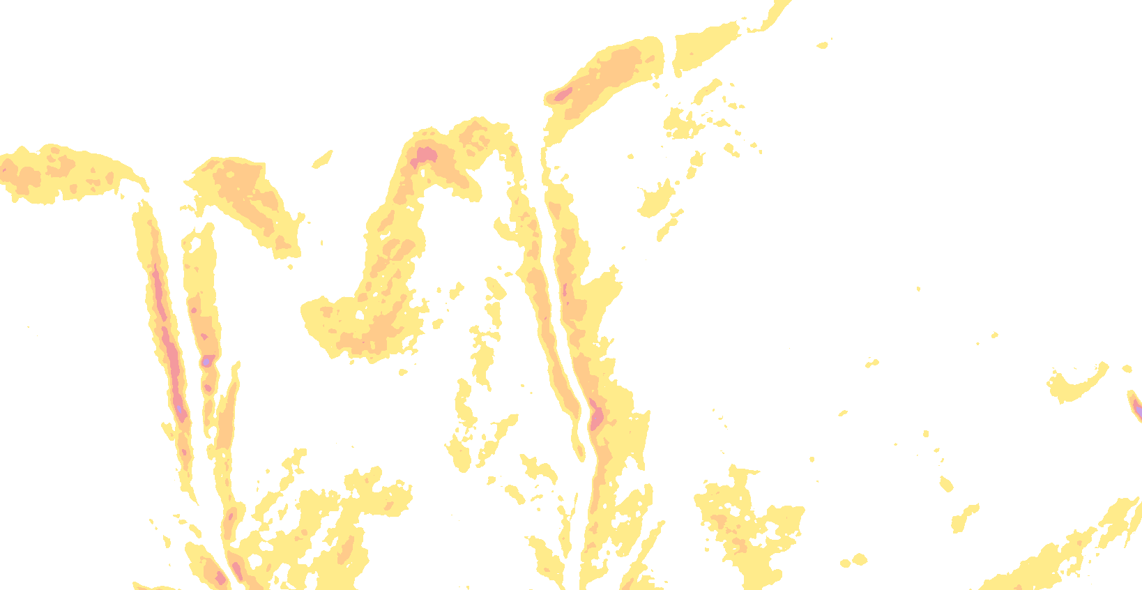
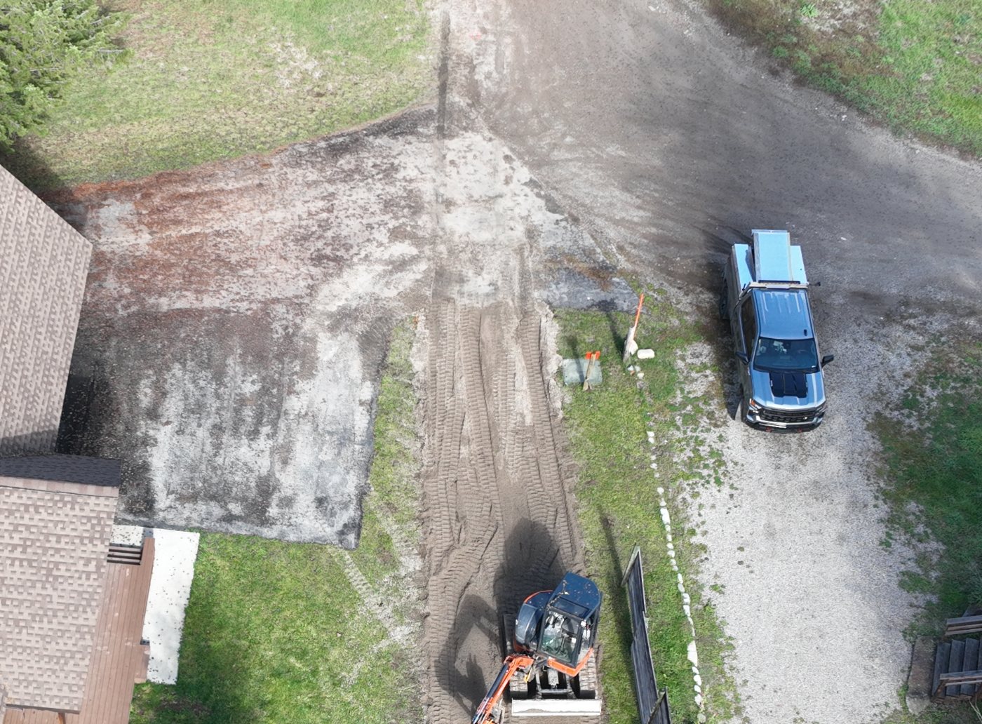
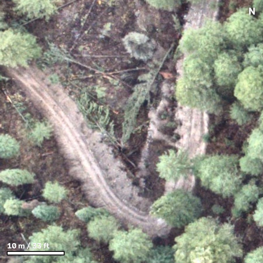
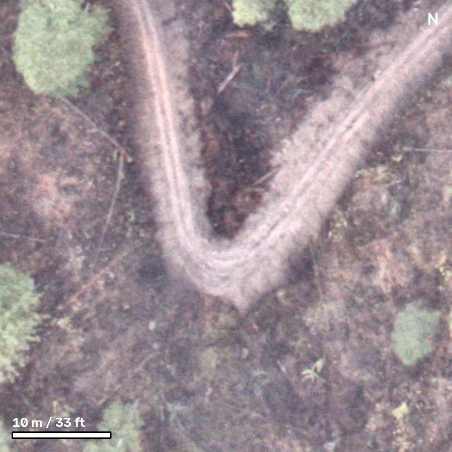
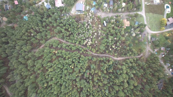
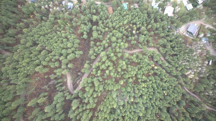
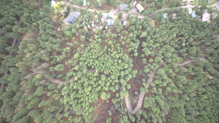
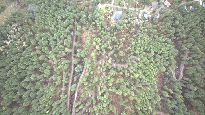
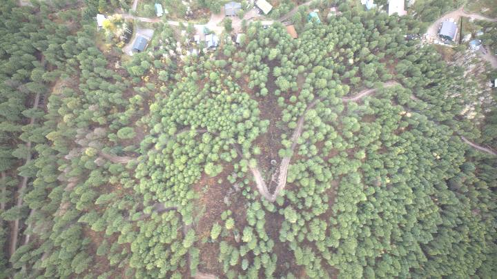
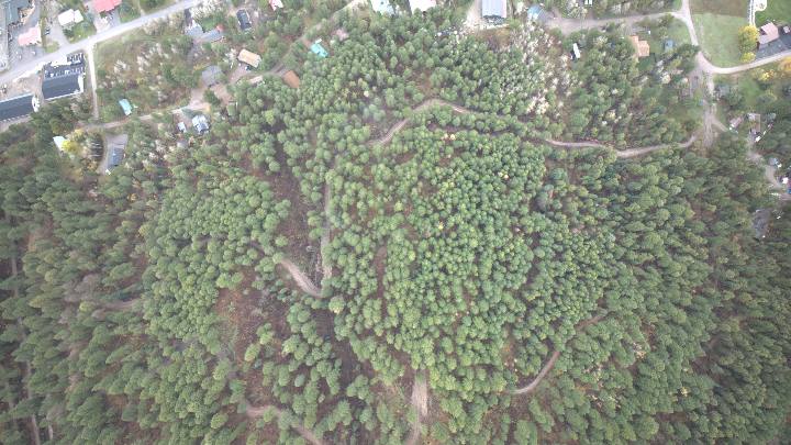
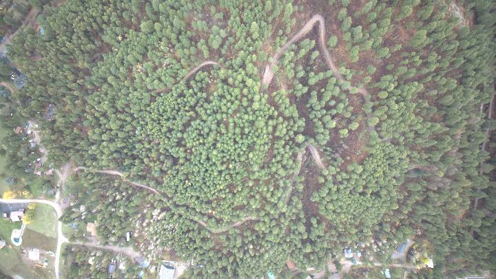
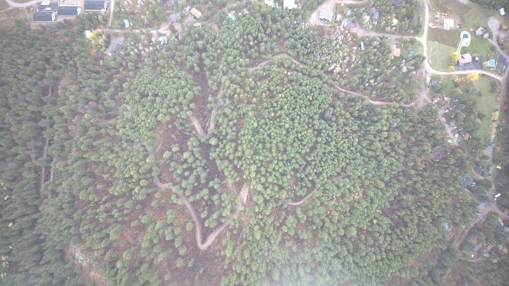
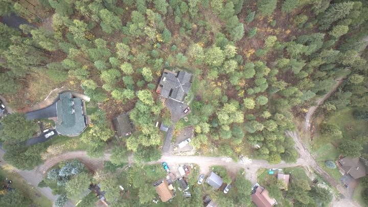
Road traced from the drone photos, georeferenced using each frame's GPS, altitude and heading, plus USGS 1 m lidar elevation data (2020). Lengths are along the ground, including the slope.
≈ 4,600 ftNew road, total (1,400 m · 0.87 mi). Likely range 4,100–5,000 ft
12–15 ftTraveled surface width
20–28 ftTotal disturbed width (cut bank, fill and clearing)
≈ 2–3 acGround disturbed by the road corridor
2 hairpins23 ft and 27 ft radius, both far tighter than fire-engine standards
~270 ftClimb from entrance (≈5,750 ft) to the high point (≈6,030 ft)
Segments
| Segment | Length | Elevation | Avg grade | Steepest 20 m | Length over 10% | Over 20% |
|---|
Click a row to highlight that segment on the map.
How the grades were worked out
Grade is how much the road climbs for every 100 feet it covers across the ground: rise ÷ horizontal run × 100. A road that rises 10 ft over 100 ft of level distance is a 10% grade. (For scale, a 45° slope is 100%.) Everything below can be checked by hand from the sample points, which are also in a spreadsheet file (CSV).
- The road's centerline was traced on the stitched drone image (the colored lines on the map above). Each traced point was turned into latitude and longitude using the image scale (0.444 m, or 1.46 ft, per pixel, north up), with the two hairpins as reference points.
- Points were placed every 10 m (32.8 ft) of horizontal distance along each traced line, plus one at the very end.
- The ground elevation at each point came from the USGS Elevation Point Query Service, which returns the best USGS 3DEP elevation data for a spot. Here that is a 1 m lidar survey flown in July 2020. (The coarser USGS 10 m elevation model covers this hill too.)
- For each 10 m step, grade = change in elevation ÷ 10 m × 100.
Average gradeAll the climbing and dropping along a segment, added up, divided by its horizontal length. Downhill counts the same as uphill, since a 20% drop is as steep as a 20% climb. This equals the average of the 10 m step grades.
Steepest 20 mThe largest rise (or drop) over any two back-to-back 10 m steps, divided by the 20 m (66 ft) between them. The shorter last step of a segment is left out of this.
Length over 10% / 20%The share of a segment's horizontal length made up of 10 m steps steeper than 10% (or 20%), in either direction.
Length along the slopeFor each step, √(run² + rise²), added up. On a 20% grade this is only 2% longer than the flat distance, so it barely changes the totals.
Caveat. The elevation data was collected in 2020, before this road existed, so it shows the original hillside. Where the road was dug into the slope or built up with fill, its real surface can be gentler than the ground it crosses. Grades here may be overstated by a few points in those places. Also, the road runs across a steep hillside, so a traced line that sits a few meters off the true centerline lands on steeper or gentler ground. A clinometer or a phone inclinometer app on the steepest stretches would confirm the numbers on site.
Step steeper than 10%Step steeper than 20%Distance runs from the first traced point of each segment. Hover or tap a chart to read a point.
Download all sample points (grade-samples.csv) · one row per point: segment, distance, latitude, longitude, elevation in meters and feet, and the run, rise and grade of the step leading to it.
How this was measured
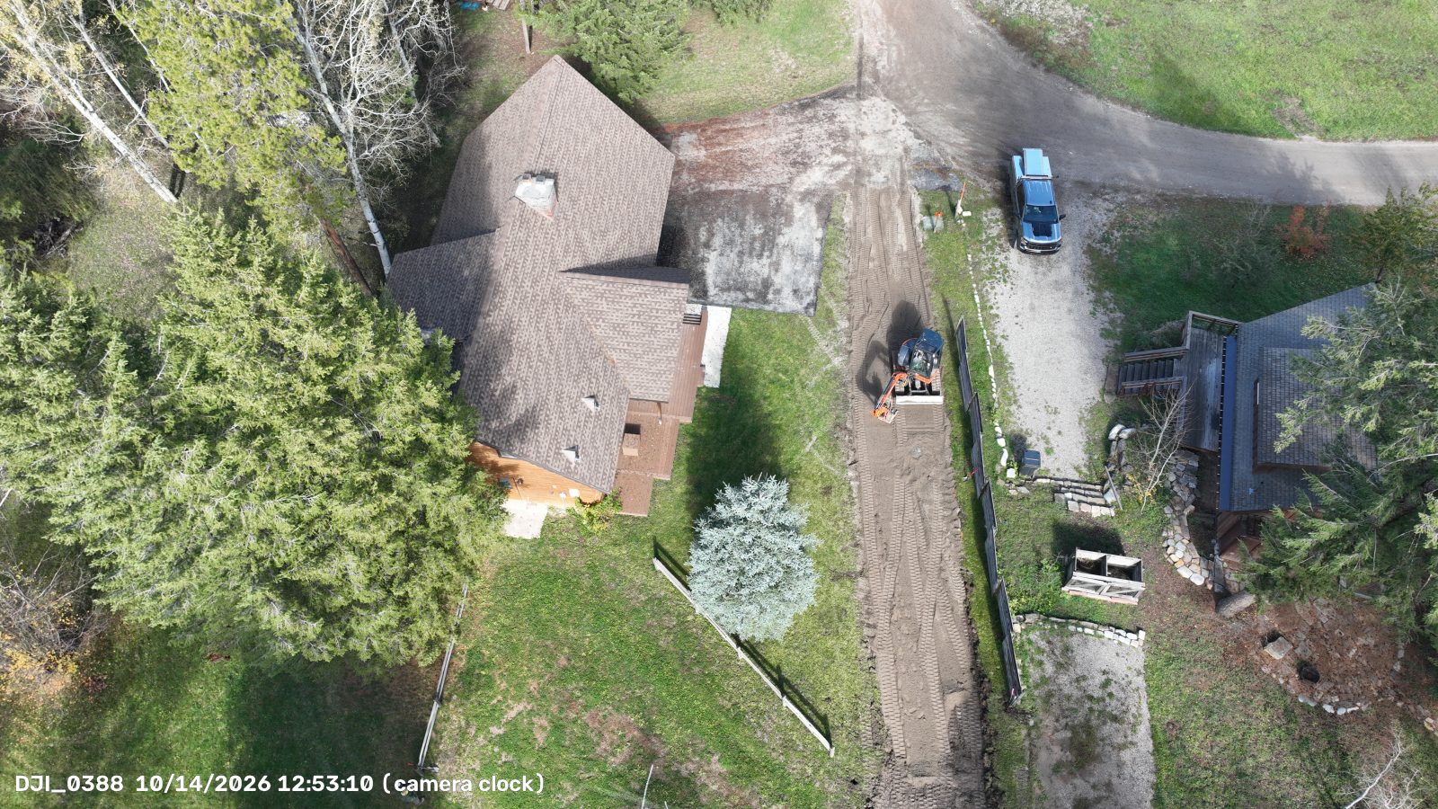
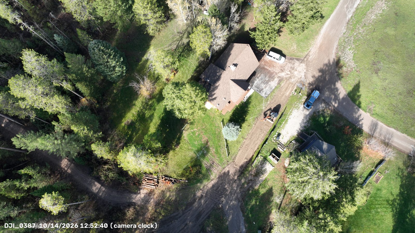
Equipment and flights. Aerial survey 13 Oct 2026 with a DJI Mavic 3 (Hasselblad L2D-20c camera): 9 frames, 143–514 m AGL. Follow-up flight 14 Oct 2026 (photos DJI_0387, DJI_0388, DJI_0396).
Scale. Each photo's height above the ground comes from its takeoff-relative altitude and USGS terrain heights. The camera's scale was checked against the GPS distance between overlapping photos. Where photos overlap, they agree to within 2–6 m.
Length. The centerline was snapped to the bare-dirt stripe in the stitched image, smoothed, and measured with the terrain slope included. The tolerance is about ±10%. Treat 4,600 ft as "roughly 4,100 to 5,000 ft."
Width. The surface was measured across about 600 cross-sections. Twelve to fifteen feet is the driven dirt. The wider figure includes cut banks, berms and cleared shoulders.
Grade. Grades come from USGS 1 m lidar (flown in 2020, before the road), sampled every 10 m along the traced line. See How the grades were worked out for every sample point. That data shows the original hillside, so where the road was cut in, the true grade may be a few points gentler. A $30 clinometer or a phone inclinometer app on the steepest stretches would confirm it.
Correction, 13 Oct 2026. An earlier version of this page gave higher grades (for example 19–22% averages on C, D and E, and stretches up to 42%). Those couldn't be reproduced from the elevation data, so they were replaced with the rechecked figures above. Lengths changed by less than 2%. The straight line on the west side (X) was briefly counted as part of the road, then taken back out.
Not counted. The straight line running north–south on the west side (gray, dashed, X) is not counted in the totals. It lies along a natural drainage path (see Water flow) and looks more like a drainage or an older track than part of the new road.
Town limits. The pink dashed line is Alpine's boundary from the U.S. Census Bureau. About 80% of the entrance (A) lies inside town limits. Segments B through E lie outside, in unincorporated Lincoln County. Census boundaries can lag recent annexations, and the Town's official map governs.
Parcel lines. From Lincoln County's public GIS ("Parcels (Approximate)"). Red outlines are parcels owned by the annexation petitioners (Steve Turley, Alpine Property Holdings Group, LLC, Premier Realty Investments, LLC, Stoor Properties, LLC). Hover over (or tap) any parcel to see the owner of record, acreage and parcel number from the county. Lines can be off by several feet, so for anything legal use a survey or the recorded plat.
Off the photos. Segment E runs out of the photos to the east, so its true length may be longer.
Rules referenced. Town of Alpine Land Use & Development Code · IFC Appendix D, fire apparatus access roads · Lincoln County Zoning Resolution · Lincoln County Land Use Regulations, Chapter 6 (road standards) · Town of Alpine annexation report, Sept 28, 2026 · Town Council minutes, May 21, 2019